Taschen
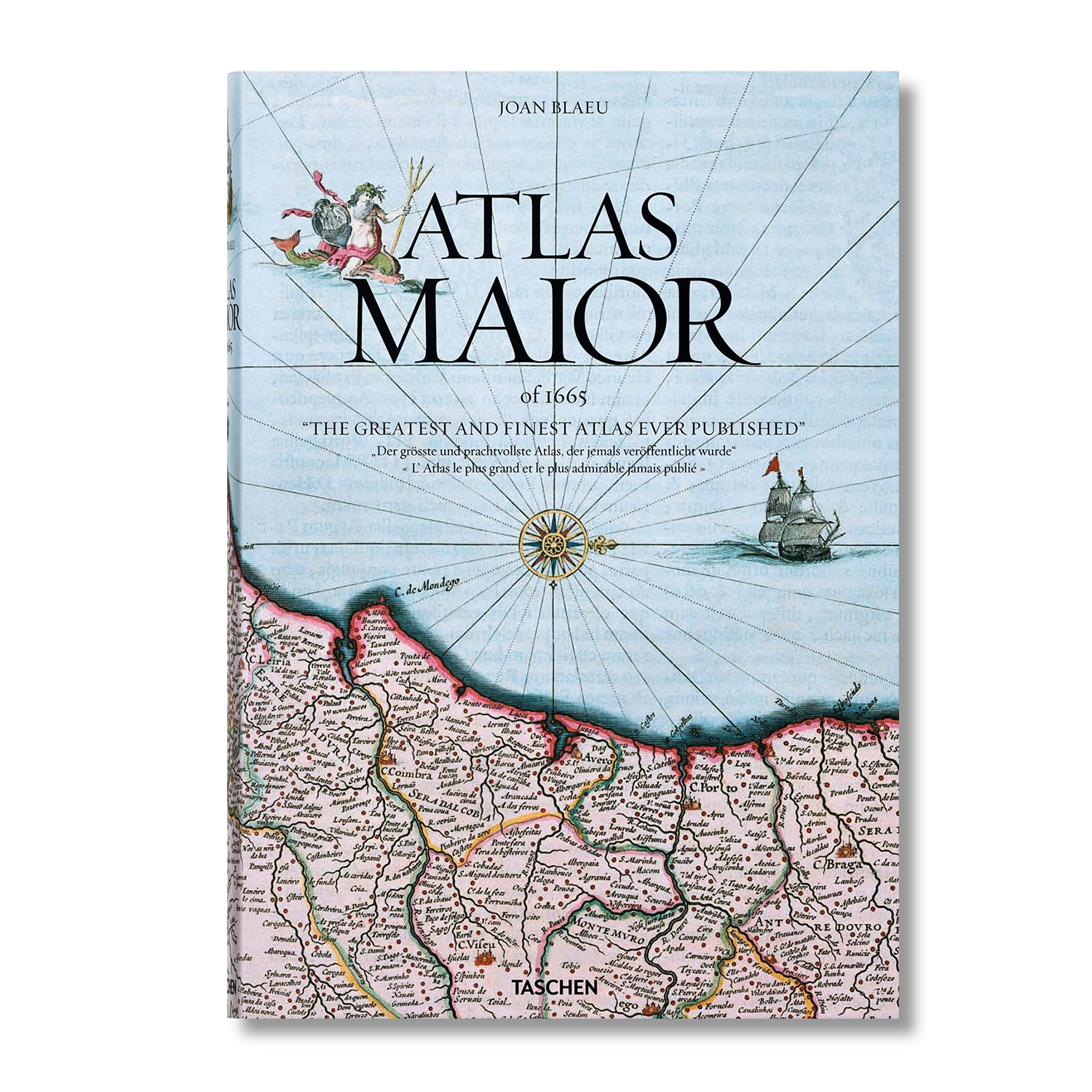
Atlas Maior
Product Description
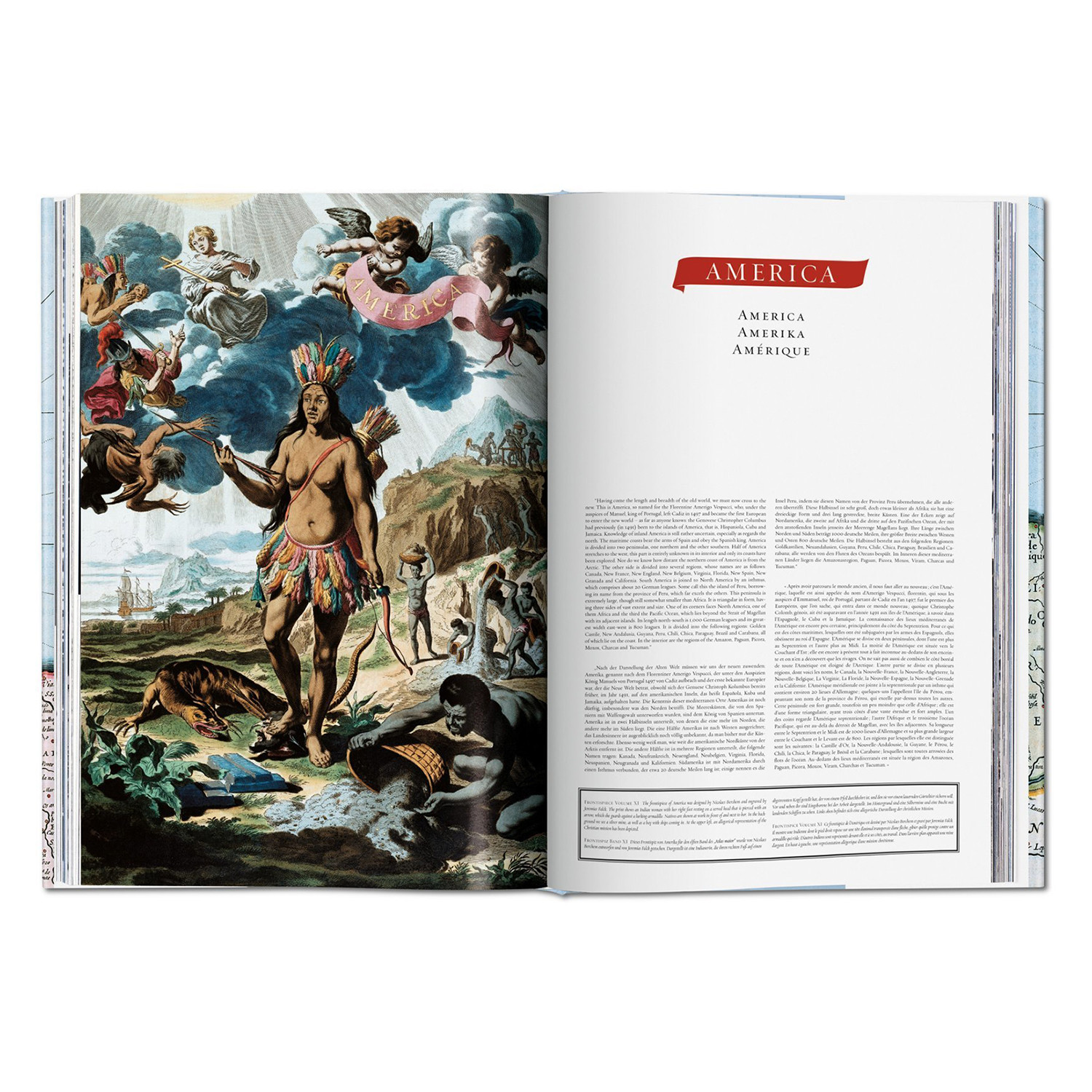
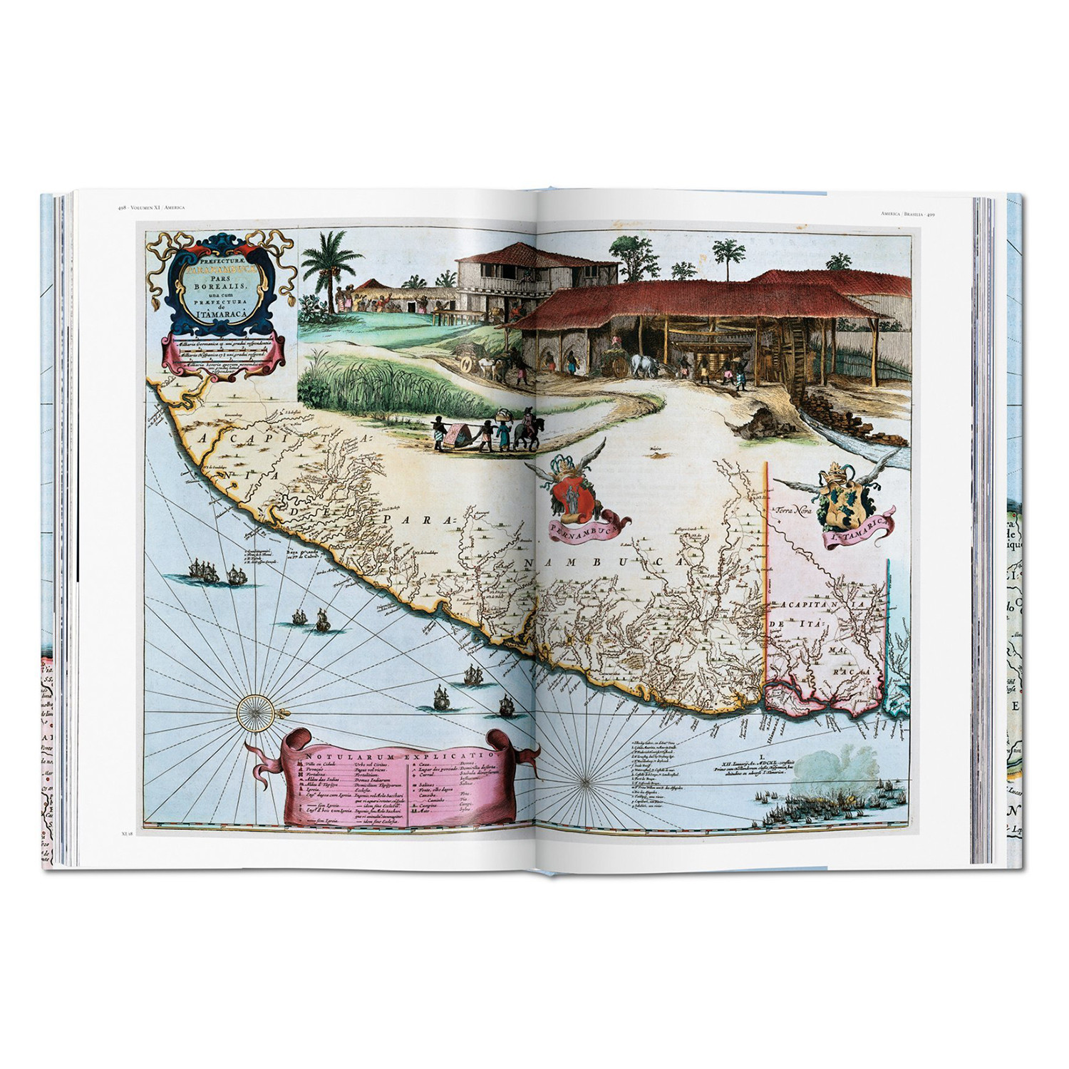
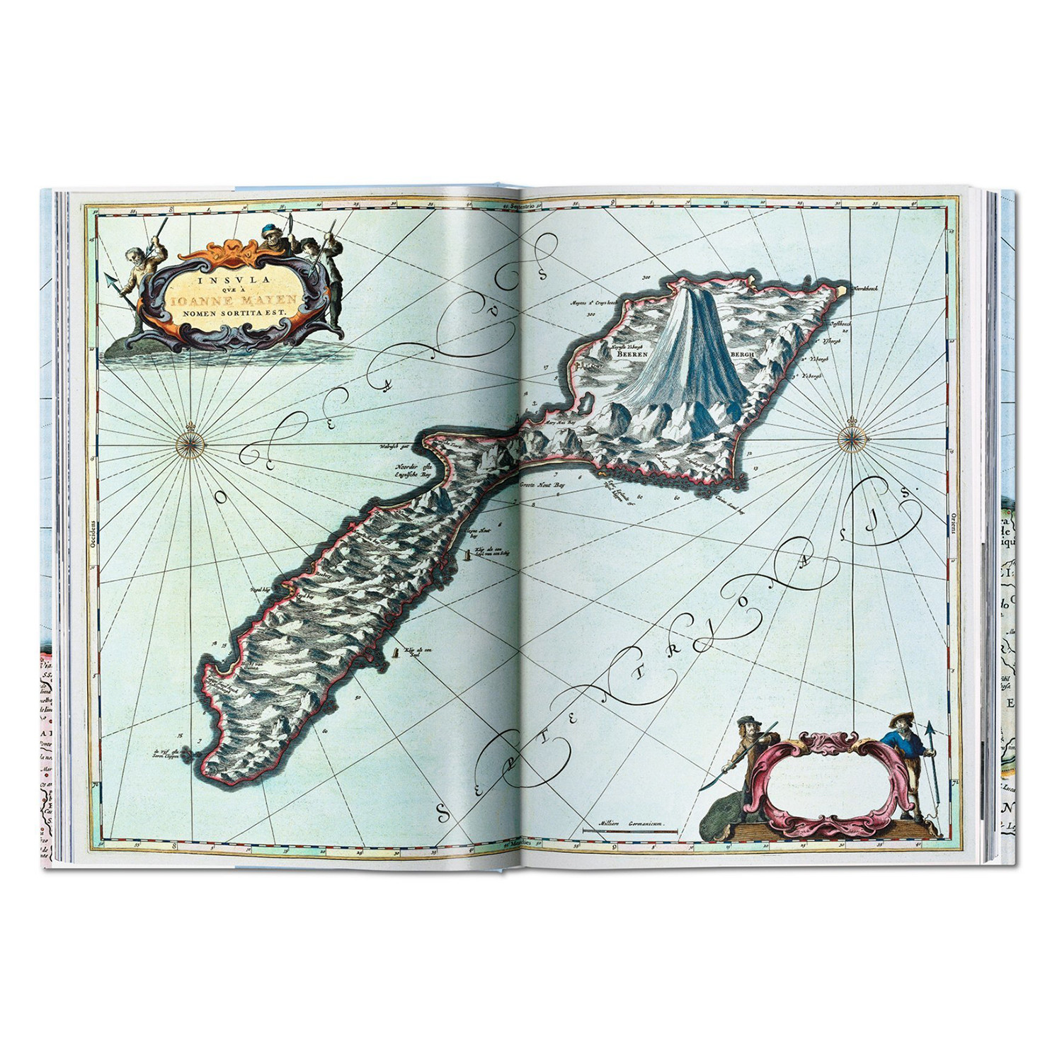
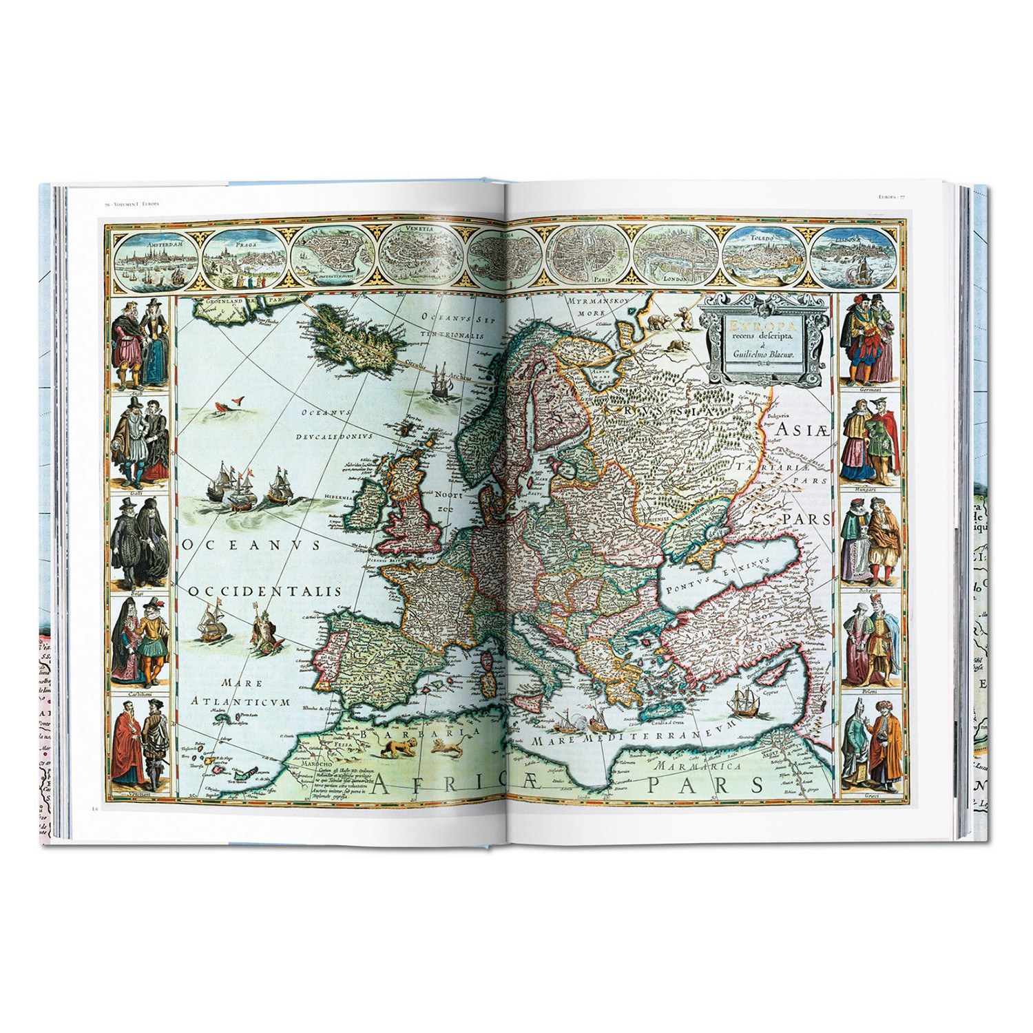
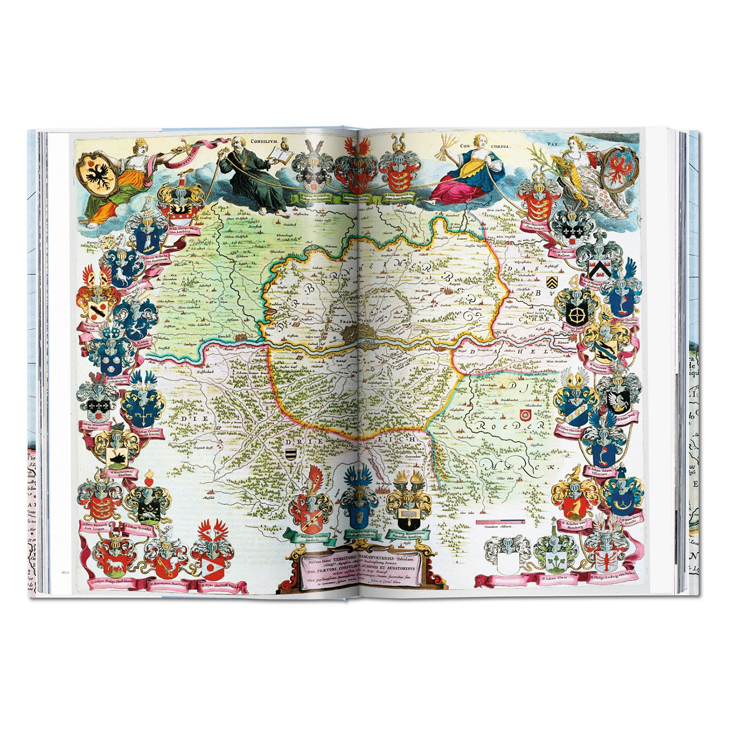
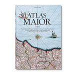
Superlatives tend to fail in describing Joan Blaeu’s Atlas Maior Of 1665—that being said, it stands as one of the most extravagant feats in the history of mapmaking. The original Latin edition, completed in 1665, was the largest and most expensive book to be published during the 17th century. Its 594 maps appearing across 11 volumes spanned Arctica, Africa, Asia, Europe, and America. Ambitious in scale and artistry, it is included in the Canon of Dutch History, an official survey of 50 individuals, creations, or events that chart the most important historical developments of the Netherlands.
TASCHEN’s meticulous reprint brings this luxurious Baroque wonder into the hands of modern readers. In an age of digitized cartography and global connectivity, it celebrates the steadfast beauty of quality printing and restores the wonder of an exploratory age, in which Blaeu’s native Amsterdam was a center of international trade and discovery.
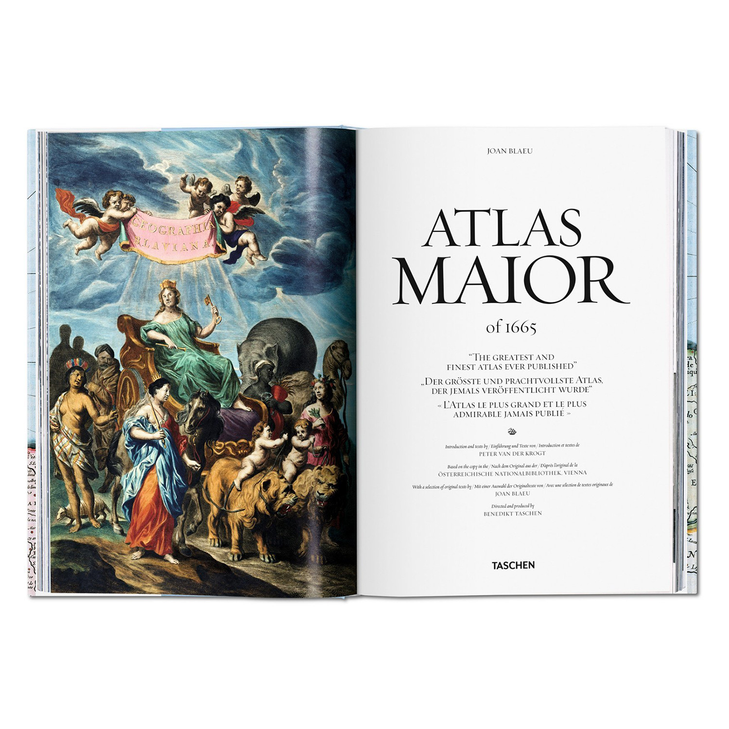
True to TASCHEN’s optimum reproduction standards, this edition is based on the Austrian National Library’s complete colored and gold-heightened copy of Atlas Maior, assuring the finest detail and quality. University of Amsterdam’s Peter van der Krogt introduces the historical and cultural significance of the atlas while providing detailed descriptions for individual maps, revealing the full scale and ambition of Blaeu’s masterwork.
The authors
Joan Blaeu (1596 Alkmaar–1673 Amsterdam) was a leading Dutch cartographer and member of the Amsterdam council. Son of Willem Blaeu, also a famed cartographer, Joan and his brother Cornelius took over his father’s workshop in 1638. He became the official cartographer of the Dutch East India Company and would gain further fame with a collection of Dutch city maps entitled Tooneel der Steeden, the first atlas of Scotland, and the masterwork Atlas Maior.
Peter Van der Krogt is a leading expert on Dutch atlases. Since 1990, he has been working on Koeman’s Atlantes Neerlandici, the cartobibliography of atlases published in the Netherlands. Van der Krogt is Jansonius curator at the Special Collections of the University of Amsterdam and researcher in the history of cartography at the University of Utrecht.
Product Details
- Materials
Paper, Board
- Measurements
15.2"L x 1.3"W x 2"H
- OriginSlovakia
— Hardcover
— 512 Pages
— ISBN 978-3-8365-3803-9
— Multilingual Edition: English, French, German
—Weight: 9.09 lb
Shipping Information
-
Shipping AvailabilityUnited States
-
Shipping PolicyStandard Ground Shipping
-
Ship In3-4 weeks ⓘ
-
Return PolicyFinal sale, not eligible for return or cancellation


Size Chart